Via Transilvanica: A Guide to Romania's Long-Distance Hiking Trail
Discover Romania on foot along the Via Transilvanica, a 1,400-kilometre trail that crosses the country from north to south, linking historic villages, Saxon fortresses and wild Carpathian landscapes.
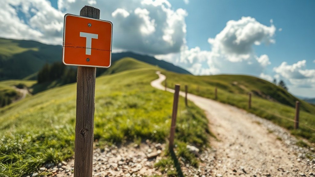
Illustration: AI-generated image
Tucked between the Carpathian Mountains and the rolling hills of Transylvania, a remarkable long-distance path is quietly becoming one of Europe's great walking routes. The Via Transilvanica stretches for roughly 1,400 kilometres from Putna Monastery in the north-east to Drobeta-Turnu Severin on the Danube, weaving through some of Romania's most storied landscapes.
What is Via Transilvanica?
Inspired by pilgrimage trails like Spain's Camino de Santiago, the Via Transilvanica was designed to showcase the country's cultural and natural diversity. The route is divided into seven historic regions, each with its own character: from the painted monasteries of Bucovina to the Saxon villages of Transylvania, from the vineyards of Alba to the dramatic gorges of the Banat. Walkers follow distinctive orange-and-white markers bearing a stylised "T" symbol, making navigation straightforward even without a guide.
The trail is not a single continuous footpath; instead, it links existing forest roads, village lanes and mountain tracks. This means you'll pass through living communities rather than isolated wilderness, with plenty of chances to sample local food and meet residents along the way.
Highlights along the route include the UNESCO-listed fortified church at Biertan, the ridgetop citadel of Sighișoara, the volcanic lake of Sfânta Ana, and the awe-inspiring Turda Gorge. The trail also crosses several national parks, where you might spot bears, lynx or golden eagles.
Planning your walk
Most people tackle the Via Transilvanica in sections rather than attempting the whole route at once. The full walk takes around two months, but a week-long taster is easy to arrange. Popular starting points include the Saxon fortress town of Sighișoara or the medieval city of Brașov, both well connected by rail and bus.
Accommodation ranges from simple guesthouses (pensiuni) and homestays to campsites and mountain refuges. Booking ahead is wise in summer, though locals are famously hospitable and may offer a bed even when places are full. Spring and autumn are the most comfortable seasons for walking, with mild temperatures and fewer crowds. Winter is only advisable for experienced hikers with proper gear.
Access points are easy to reach by public transport. The northern terminus at Putna is served by trains to Suceava followed by a bus or taxi. The southern end at Drobeta-Turnu Severin has direct rail links from Bucharest and Timișoara. Many towns along the route, such as Alba Iulia and Mediaș, have regular bus services, making it simple to join or leave the trail at convenient points.
Because the trail crosses varied terrain—from gentle farmland to steeper mountain passes—sturdy boots and layered clothing are essential. Carry water and some food, as shops can be sparse in remote sections, and download offline maps before you set out.
Whether you have a day or a month, the Via Transilvanica offers a slow, immersive way to experience Romania's landscapes and traditions. Lace up your boots and follow the orange T.