Făgăraș Mountains: A Hiker's Guide to Romania's Highest Range
Romania's Făgăraș Mountains offer some of the most dramatic hiking in the Carpathians, with a high ridge walk linking peaks over 2,500 metres. Here's how to plan your trek.
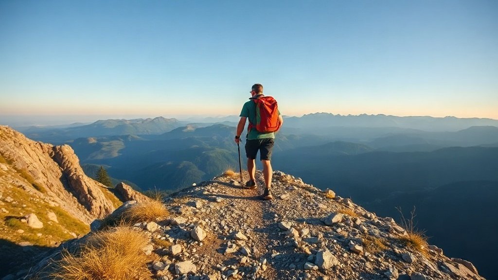
Illustration: AI-generated image
The Făgăraș Mountains cut a jagged line across the heart of Romania, forming the highest section of the Southern Carpathians. Often called the 'Transylvanian Alps', this range is a magnet for hikers who want a true alpine challenge without the crowds of western Europe. With several peaks above 2,500 metres, glacial lakes tucked into high valleys and a long, rocky ridge that demands good fitness and steady nerves, the Făgăraș are the place to test yourself.
The lay of the land
The range stretches roughly 70 kilometres from east to west. The main ridge runs between the Prahova Valley to the east and the Olt Valley to the west. Moldoveanu Peak (2,544 m) is the highest point in Romania, closely followed by Negoiu (2,535 m), and both sit along this central backbone. Deep valleys cut into the range on both sides, creating a landscape of steep slopes, exposed rock and hidden glacial lakes.
Most hikers focus on the high ridge route, which can take between five and seven days to complete. The trail is marked with the familiar red stripe and is technically straightforward in good weather, but it involves long days, significant elevation gain and some sections with chains for extra security. If you are not ready for a multi-day traverse, plenty of shorter day hikes from valley bases offer a taste of the scenery.
Trails and routes
The classic full traverse starts at one end of the ridge and finishes at the other, typically taking in all the major peaks. Common starting points are the Bâlea Lake area in the west or the town of Victoria in the east. From Bâlea Lake, a cable car or a steep marked path brings you up to the ridge near Bâlea Lac chalet. From there you can head east towards Moldoveanu or west towards Negoiu.
Day hike options include walking up to Bâlea Lake from the Transfăgărășan road, climbing Moldoveanu from the southern side via Stâna lui Burnei, or exploring the area around the spectacular glacial lakes of Capra and Călțun. Many hikers use the mountain huts as bases and make loop walks from them.
Mountain huts
The Făgăraș have a network of mountain huts and refuges that allow you to hike the ridge without carrying a tent. Most are simple affairs offering dormitory beds and basic meals. Advance booking is essential in July and August, but outside the peak season you may find space on arrival. Some huts are staffed only in summer; check locally before setting out.
Popular huts along the ridge include Bâlea Lac, Calțun, Podragu and Negoiu. Each offers a bed for the night and a warm meal, but expect very basic conditions — shared rooms, no private bathrooms and limited electricity. Pack a sleeping bag liner, a headlamp and earplugs.
When to go
The hiking season in the Făgăraș runs from late June to late September. Snow can linger on north-facing slopes well into July, and the first autumn storms often arrive in September. July and August offer the most stable weather, but also the biggest crowds, especially around Bâlea Lake and Moldoveanu. June and September are quieter, with cooler temperatures and a higher chance of rain or early snow.
Do not attempt the high ridge outside these months unless you have winter mountaineering experience. Even in summer, weather can change fast: thunderstorms roll in quickly over the ridge, so start early and plan an escape route.
Safety and preparation
The Făgăraș ridge is not a walk in the park. You need good fitness, sturdy boots and a map or GPS. Water sources are scarce on the high ridge, so carry enough for the day or plan to descend to a spring. The route is exposed in places, and a head for heights helps on the steeper sections.
Always check the forecast before setting out, and tell someone your plans. Mobile phone coverage is patchy on the ridge, so don't rely on it in an emergency. The mountain rescue service (Salvamont) can be contacted via 0-SALVAMONT (0-725826668) but help may take hours to reach you.
Getting there
The main gateways to the Făgăraș are the towns of Sibiu in the north-west and Brașov in the east. Both have good train and bus connections to Bucharest and other major cities. From Sibiu, you can reach the western trailheads near Bâlea Lake by car or bus along the Transfăgărășan road. From Brașov, local buses run to villages on the northern side, such as Zărnești or Victoria, which give access to the eastern peaks.
Wherever you start, the Făgăraș will leave you with sore legs and a deep respect for Romania's wildest mountains. Plan carefully, pack light and enjoy the ridge of a lifetime.