Făgăraș Ridge: A Hiker's Guide to Romania's Highest Mountains
Everything you need to know about trekking the Făgăraș Ridge, from route highlights and best time to go to practical tips for a safe and memorable adventure.
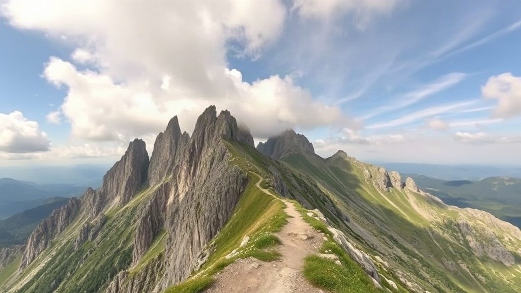
Illustration: AI-generated image
The Făgăraș Mountains are often called the 'Alps of Transylvania' for good reason: they form the highest and most dramatic range in Romania, with over 150 peaks rising above 2,000 metres. The jewel in their crown is the Făgăraș Ridge, a long and challenging high-level traverse that draws experienced hikers from around the world.
Stretching roughly 70 kilometres from west to east, the ridge connects the range's most iconic summits, including Moldoveanu (2,544 m) and Negoiu (2,535 m), the country's two highest points. Unlike the rolling hills of the Carpathians further north, the Făgăraș are sharp and rocky, with deep glacial valleys, sparkling tarns and a sense of true alpine wilderness.
Why hike the Făgăraș Ridge?
The main draw is the sustained exposure: for days on end you walk along a narrow crest, often with steep drops on both sides and uninterrupted views over the surrounding peaks. The scenery changes from grassy slopes to boulder fields and dramatic rock walls. On clear days you can see as far as the Piatra Craiului ridge to the east and the Apuseni Mountains to the west.
Along the way you pass more than a dozen glacial lakes, including Bâlea Lake, the largest and most accessible, and Capra Lake, a deep blue pool tucked beneath the ridge. The area is also home to chamois, marmots and golden eagles, adding wildlife encounters to the list of highlights.
When to go
The hiking season is short. Snow can lie on the ridge until late June and return by October. The best months are July, August and early September, when temperatures are mild and the days are long. Even then, the weather can change quickly: afternoon thunderstorms are common, and fog can roll in without warning. Always check the forecast before setting out and be prepared to turn back.
Route overview
A full traverse typically takes five to seven days, depending on your pace and the number of side trips. Most hikers start at the western end near the town of Turnu Roșu and finish at the eastern edge near the village of Sebeșu de Sus, or do it in reverse. The path is marked with a red stripe and is generally easy to follow in good visibility, but navigation skills are essential in poor weather.
Accommodation is available in a handful of mountain huts along the way. They are basic but welcoming, offering dormitory beds and hot meals. Camping is permitted near the huts and at designated spots, but wild camping is not officially allowed inside the national park. Water sources are plentiful on the northern side, so carrying a filter or purification tablets is a good idea.
Practical tips
- Fitness and experience: This is not a beginner's hike. You need good stamina, steady footing and a head for heights. Previous experience with exposed ridges and boulder fields is strongly recommended.
- Gear: Bring sturdy hiking boots, waterproof layers, warm clothing for cold nights, a headtorch, a first-aid kit and a map or GPS device. Trekking poles are a great help on descents.
- Resupply: Huts sell basic food and drinks, but variety is limited. Carry high-energy snacks and enough cash, as card payment is not always possible.
- Getting there: The most popular access point is Bâlea Lake, reached by the famous Transfăgărășan road from the north or south. Other trailheads are served by local buses from Sibiu, Făgăraș or Brașov, but schedules can be infrequent.
For those with less time, a two-day taster is possible: hike from Bâlea Lake to Negoiu and back, or take the cable car up from Bâlea Cascada and explore the highest section of the ridge as a day trip. Whichever you choose, the Făgăraș Ridge offers an unforgettable taste of Romania's wildest mountain scenery.